

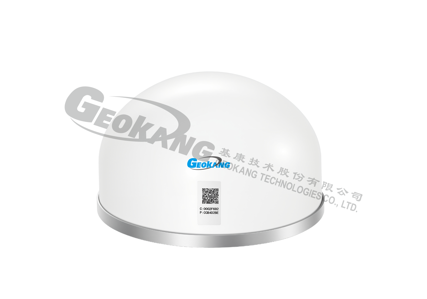
Geodetic GNSS Receiver
BGK-2850S geodetic GNSS receiver is a high-precision surface displacement measurement system based on the Global Navigation Satellite System (GNSS). Its main function is to monitor the three-dimensional displacement changes of the measured object through real-time calculation of GNSS data. The system is applicable for displacement and deformation monitoring of large structures such as dams, tailings storage facilities, landslides, bridges, and ground subsidence in mine goafs.
BGK-2850S geodetic GNSS receiver is a high-precision surface displacement measurement system based on the Global Navigation Satellite System (GNSS). Its main function is to monitor the three-dimensional displacement changes of the measured object through real-time calculation of GNSS data. The system is applicable for displacement and deformation monitoring of large structures such as dams, tailings storage facilities, landslides, bridges, and ground subsidence in mine goafs.
This device supports multiple systems and frequencies including BDS, GPS/QZSS, Galileo, and GLONASS. It integrates a front-end static calculation engine and dual-frequency RTK algorithms internally, providing stable centimeter-level high-precision positioning services. It supports WIFI, wired network, and 4G remote transmission. The overall power consumption is as low as 1 W, making this product suitable for scenarios with stringent power requirements.
Single-Beidou GNSS series products are available and have obtained Single-Beidou certification.
Product model | BGK-2850S geodetic GNSS receiver |
Receiver type | Four-system, eight-frequency |
Data output | Rate: ≤1 Hz (default: 1/15 Hz); data format: RTCM3.2; Communication protocol: MQTT |
Calculation method | It supports onboard calculation and backend calculation |
Static calculation accuracy | Horizontal: better than ±2.5 mm + 0.5 × 10⁻⁶D (D is the measured length) Vertical: better than ±5.0 mm + 1 × 10⁻⁶D (D is the measured length) |
Inclinometer | Triaxial (optional) linearity: 0.1%FS, range: ±90° |
Storage space | 256 MB, expandable;TF card storage: 32 GB |
Communication ports | Wired communication: RJ45; wireless communication: All 4G network types, WIFI |
Power interface | 12VDC |
Temperature range | -40℃ ~ +60℃ |
Satellite carriers | GPS:L1+L2 GLONASS:L1+L2 BD:B1+B2 Galileo: E1/E5b |
Time to first fix (TTFF) | Hot start: 30s, cold start: 45s; reacquisition time: L1/L2: 0.5 / 1.0s |
Overall power consumption | Power-saving mode: 1 W |
Protection level | IP68 |
Device weight | <5kg |